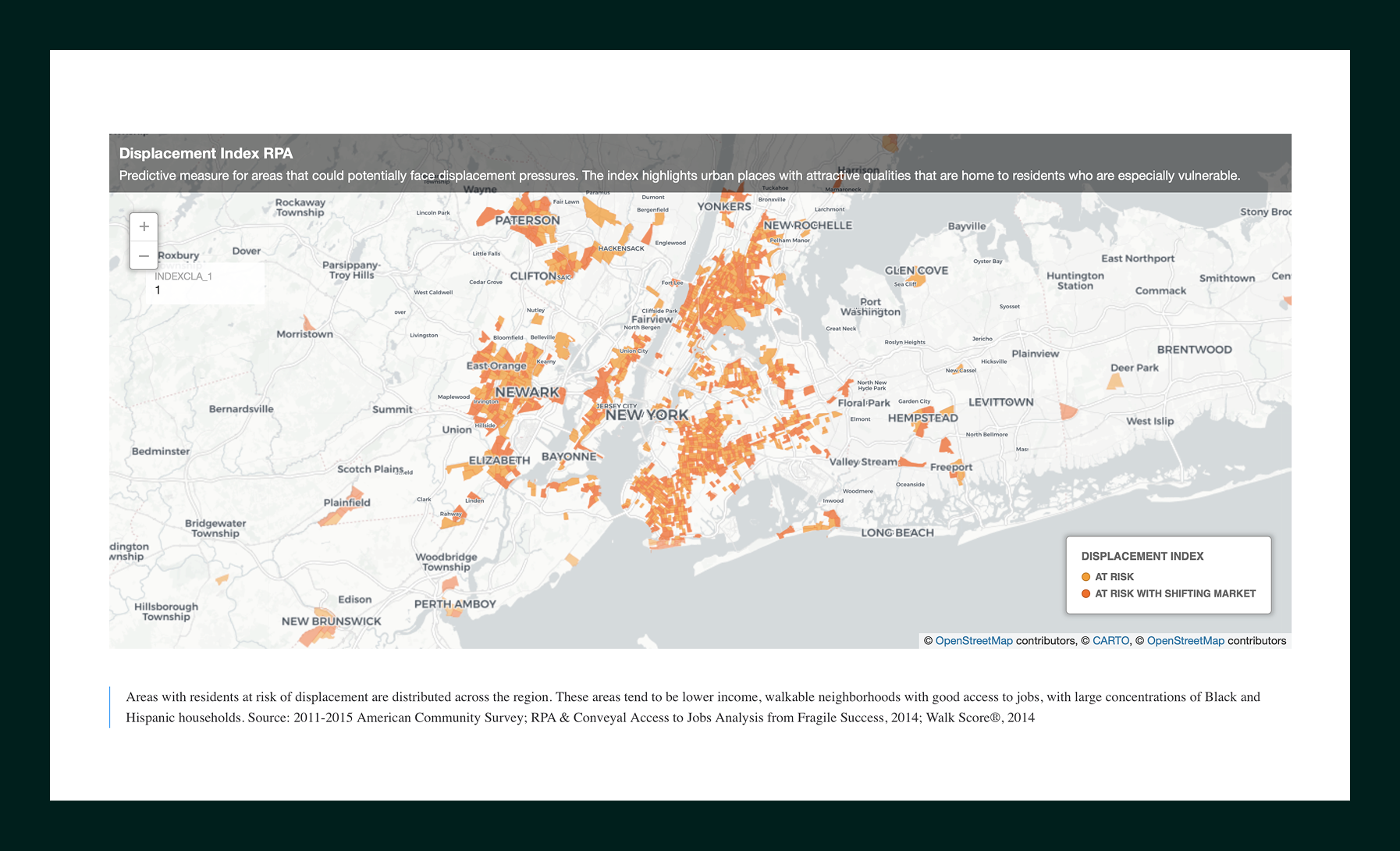
Website header for The Fourth Regional Plan with navigation links and geometric logo shapes in blue, green, and orange.

The Fourth Regional Plan

Designing a digital-first vision for long-term regional growth, equity, and sustainability.

The Challenge
Translating a long-range, multi-decade regional plan into a digital experience that could be understood by both the public and policy decision-makers.

The Solution
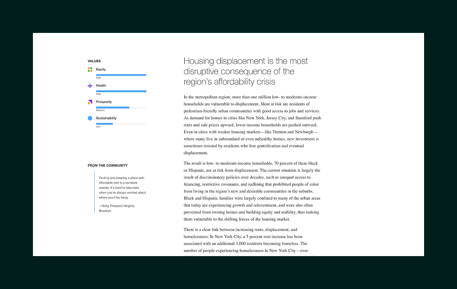
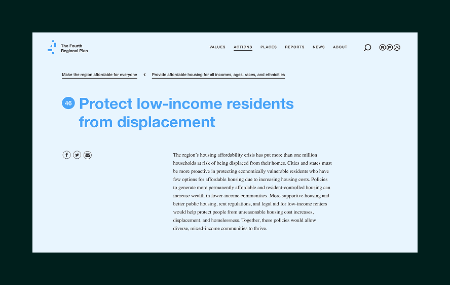
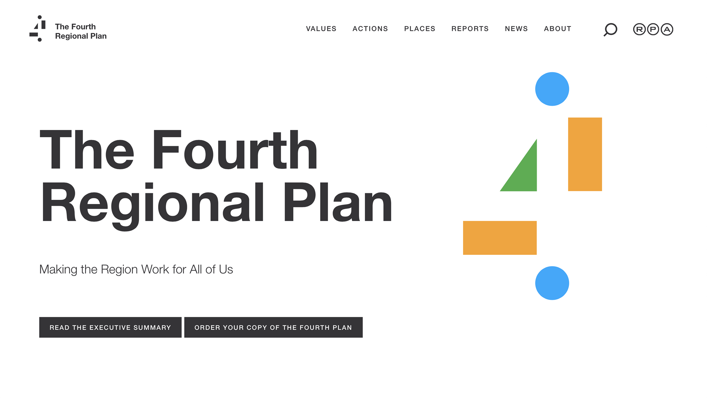
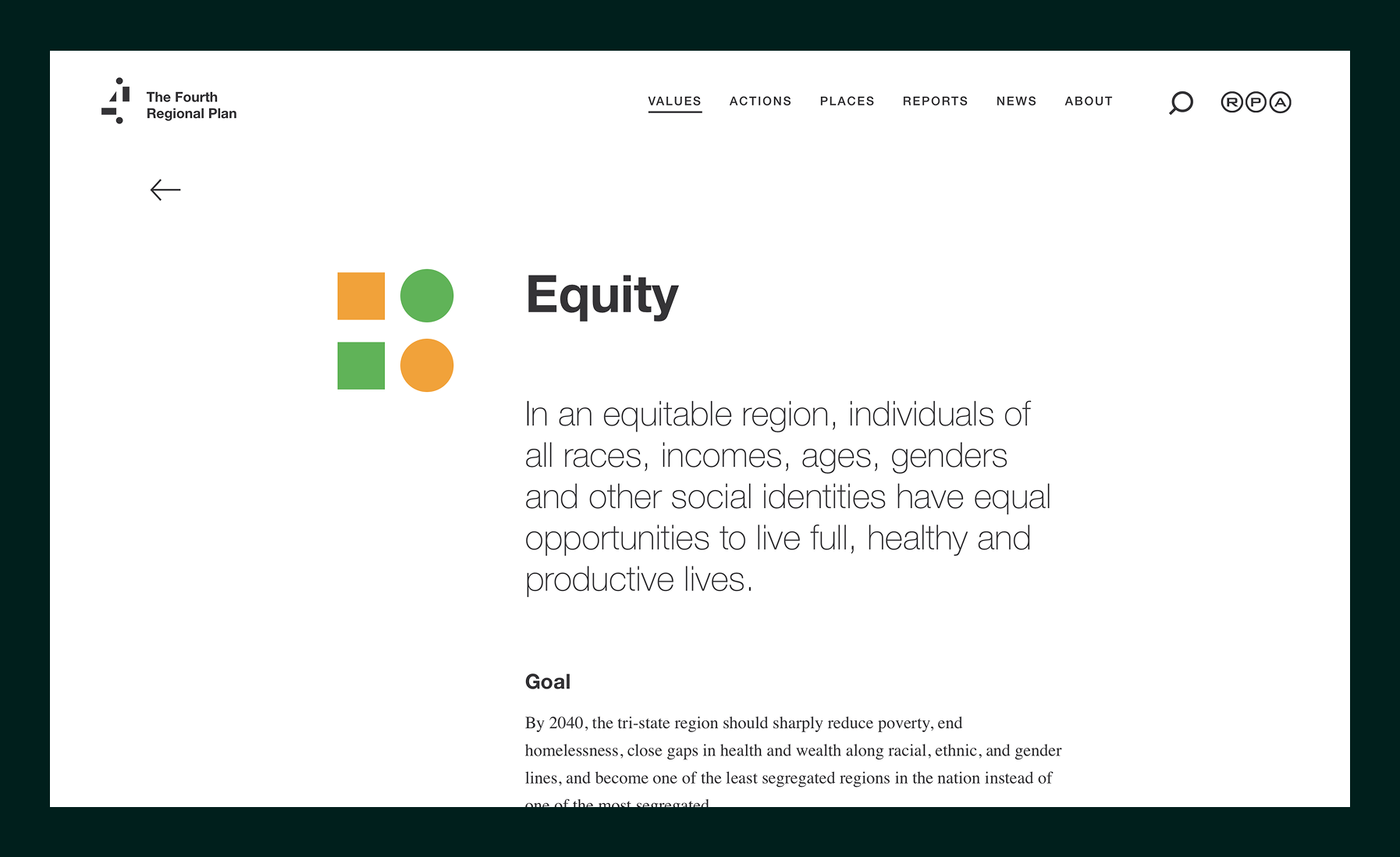
The website was designed as the primary interface for understanding the regional development plan, allowing users to move fluidly between high-level vision, detailed recommendations, and supporting data. The branding system, built around simple geometric shape, also functions as a navigational and organizational device, helping users recognize themes and orient themselves across the plan.

Visit: fourthplan.org

Smartphone screen showing a split aerial view of Jamaica, Queens, comparing past and present, with text explaining the area's advantages and community features.

Designing for Understanding at Scale

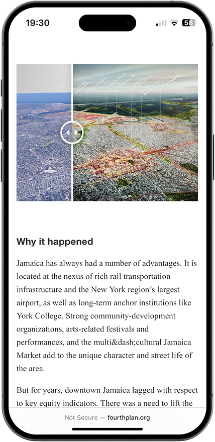
Because the website was the primary access point for the plan, clarity and readability were central design considerations. Content was broken into digestible sections with clear hierarchy, consistent layouts, and strong typographic structure. This approach allows users to understand the plan incrementally, whether they are skimming key ideas or diving deeply into specific topics like housing, transportation, equity, or climate resilience.

Webpage from The Fourth Regional Plan titled Equity, describing equal opportunities for individuals of all social identities to live full, healthy, productive lives, with colorful square and circle icons.
Grid of recommendation cards with images including subway trains, city street with buses, aerial view of residential neighborhood, each with purple text boxes describing transit and tax related initiatives.
Webpage highlighting the fourth action of The Fourth Regional Plan: Modernize transit systems outside New York City, with detailed text about improving commuter rail and bus systems in the tri-state region.

Interactive Data Tools for Expert Exploration

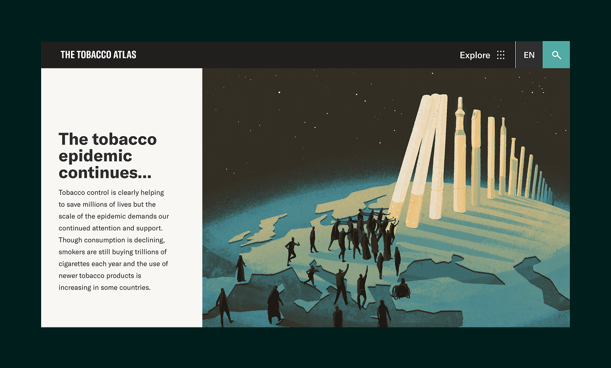
The Tobacco Atlas features interactive data visualizations designed for expert audiences, enabling deeper exploration of complex datasets while reinforcing the project’s authority in global tobacco control.

Map showing areas in and around New York City at risk of displacement, highlighted in orange with two risk categories: 'At Risk' and 'At Risk with Shifting Market'.
Text focuses on housing displacement as a key effect of the regional affordability crisis with a values legend showing equity, health, prosperity, and sustainability; includes a community quote from Kelly, Prospect Heights, Brooklyn.
Webpage from The Fourth Regional Plan titled 'Protect low-income residents from displacement' explaining the need for policies to support affordable and resident-controlled housing to prevent displacement and homelessness.

Outcomes

Delivered the first fully digital regional plan in RPA’s history, expanding access to a wider public audience.

Established a cohesive brand and design system that supports long-term planning content.

Enabled interactive exploration of regional data and proposed improvements.

Explore More Work